Services
Landsker Archaeology Ltd can undertake the following activities.
Desktop Assessements to determine the known archaeological and historical evidence for any given area.
GIS Survey Integration of the results of ground visits and other data to combine map and database evidence onto a Geographical Information System (GIS). The company operates a number of GPS systems to assist with this process including a Leica GS20 system that can provide positional information to an accuracy of one metre.
Lidar data gathered by the Environment Agency has been processed and added to the contouring programme to illustrate archaeological areas.

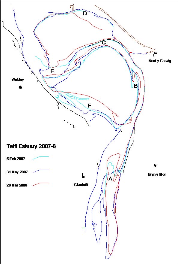
Digital aerial images can be converted to rectified images that align with the base mapping coordinates. Information from a number of international mapping systems has been utilised in addition to the UK OS grid system. This technique has also been used to integrate historical mapping and vertical aerial photographs to demonstrate topographic change over the past 150 years at the estuary of the river Teifi in West Wales.
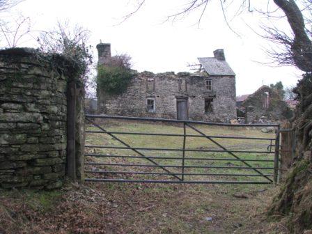
Topographic Survey and Building Survey The company undertakes ground survey of earthwork and standing features. The information is collected on either a Zeiss Elta total station, or a Topcon GPT3005LN total station. The reflectorless beam of the Topcon is especially useful when performing surveys of standing buildings. For large scale projects, a Topcon Hiperlite+ system is hired. Information is collected digitally and transferred to NRG software for production of contour maps and then to other software for 3D editing to the clients requirements.
Evaluation, Watching Brief and Excavation, together with associated Post Excavation Analysis are all undertaken. This can either be directly by the company, or using others as a sub-contact or as the Project Management of a scheme on behalf of the client. This last example is particularly common in very large projects such as the BTC pipeline in Azerbaijan, or the A55 DBFO road scheme in Anglesey.
